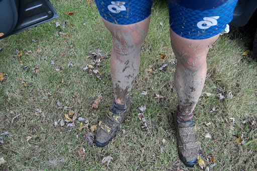
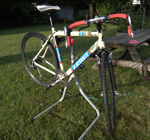
On Sunday, in France, the legendary* Paris-Roubaix race took place. It is a near-mythical jaunt across the cobbled farm roads of previously-war-torn Northern France. Some 140 miles of bone-jarring Napoleonic stones that make legends of some riders, but breaking far more. It is truly “epic”.
Inspired, I got out on the two-wheeler Sunday morning to find and ride what pavé (French for cobblestone) still exists in the 502, for what could be termed a pathetic but pleasant meh-pic homage.
There are relatively few of these area left in town that I know of. I haven’t given a whole lot of time to finding them, but given my life spent in this town coupled with the wisdom that only Google Maps Street View can provide, I found these handful of sections. They fall into one or two categories: ridiculously steep or quaintly maintained as a curio. I prefer the former.
As do many cycling trips in town, I started from Cherokee Park, riding a lap of the Scenic Loop, before getting to the proper steep stuff. You can find my entire route, “Crescent Hill Cobbles” on bikely.com
* legendary in cycling circles, anyway
Coming up after the jump, a pictorial of the journey and details.
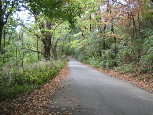
Appetizer: Maple Road, Cherokee Park
Length: 2100 feet.
Altitude gain: 101 feet.
Gradient: 5% average, 11% max.
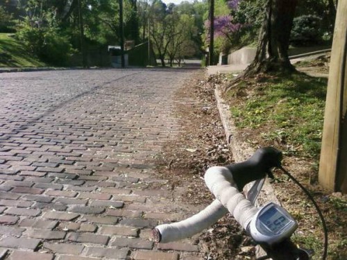
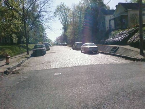
Sector #1: Peterson Avenue @ Grinstead Drive
Length: 529 feet
Altitude gain: 65 feet.
Grade: 8.8%
Old, weathered, at times unruly.
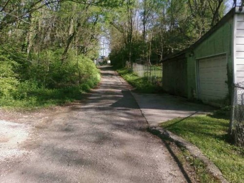
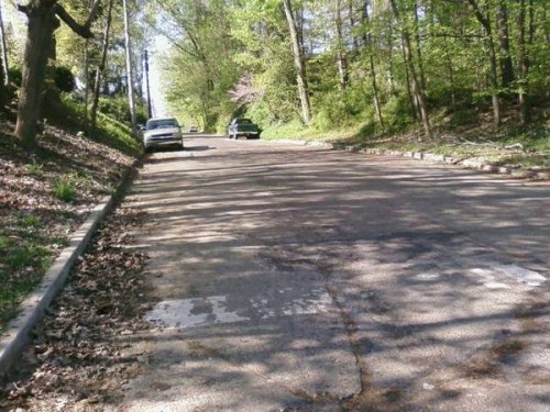
Sector #2: Bickel Alley between Payne Street and Bickel Road
Length: 700~ feet
Altitude gain: 50 feet
Grade: 6.5%
While not cobbled, it is a nasty stretch of uneven asphalt, concrete and gravel. Interesting collection of houses on the way up, as well.
You might also be interested in slogging up the nearby Saunders Avenue, just east of there. Not cobbled, but concrete slabs on a straight silly incline.
Sector #3 – Sycamore Avenue between Keats Avenue and Jane Street
Length: 420 feet
Altitude change/gradient: Eh.
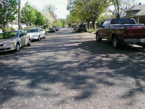
Here lies an interesting curio. One block, untouched by the hot wrath of the asphalt-layer. Mostly flat with tidy paving bricks that deal a 10% quaintness bonus to all houses nearby.
Sector #4 – Haldeman Avenue at Brownsboro Road (US 42)
Length: 449 feet.
Altitude gain: 49 feet.
Grade: 11.1%
What makes it worse is that many of the paving stones on Haldeman are actually laid into the street in a stair-step manner, I assume to keep cars from hurtling down it in damp or icy conditions. Imagine attempting to bike up your stairs, if they were 1/8 scale, and jagged.
PS – Apparently so fearsome that the Google Maps Street View car wouldn’t dare it!
Sector #5 – State Street between Frankfort Avenue and North Charlton Street
Length: 968 feet
Altitude Gain: 34 feet
Grade: 3.5%
At the bottom, a tidy selection of stones as seen in the photo above, but at the top there is a wonderful patchwork of new and old stones, as seen below in the Google Street View.
After-dinner Coffee - Stevenson Avenue @ Mellwood Avenue
Length: 100 feet?
Altitude Gain: 23 feet
Grade: 23%
So this one isn’t cobbled, nor is it much longer than a baby’s arm, but it’s plenty steep.
Dessert – Mellwood Avenue to River Road and Mockingbird Valley
No need to blather on about this stretch. It’s not cobbled, it’s mostly flat and it’s beautiful. Mellwood Avenue is a tree-lined avenue with low traffic that runs from Old Louisville through to the affluent Mockingbird Valley. Mockingbird Valley is a rolling, tree-shrouded tour that intersects with Brownsboro Road. Say hello to the Dancing Bears, if you can find them.


